 Kitchin 1777

|

|
|
|
map type:- Kitchin 1777 |
|
|
|
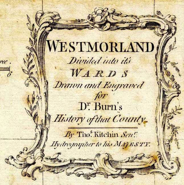
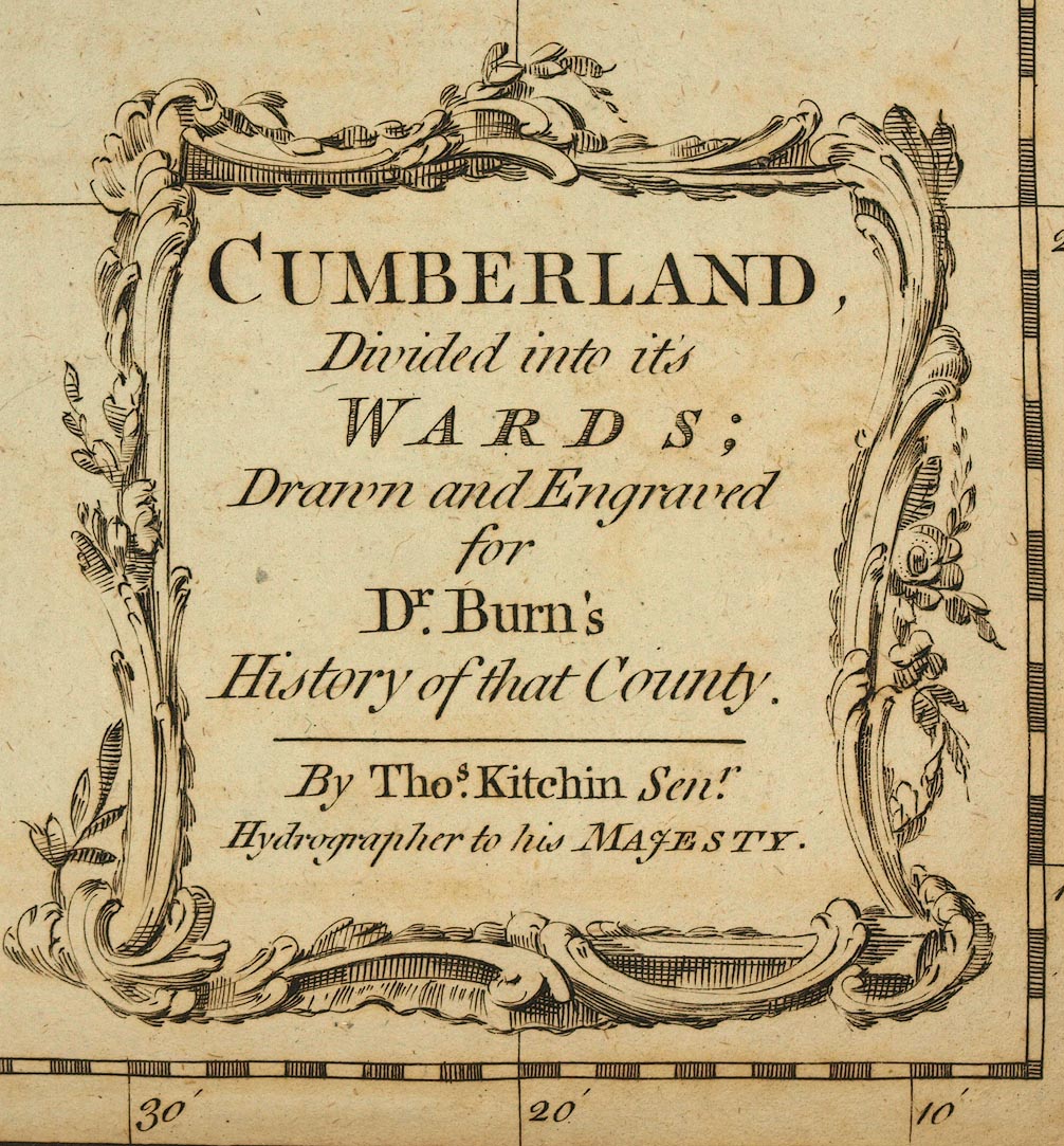
Maps, Westmorland Divided into its Wards, scale about 4
miles to 1 inch, and Cumberland, Divided into its Wards,
scale about 5.5 miles to 1 inch, by Thomas Kitchin,
published by W Strahan and T Cadell, Strand, London, 1777.
Tipped in after the title pages of vols.1 and 2 of The History and Antiquities of the Counties of Westmorland and Cumberland by Joseph Nicolson and Richard Burn. |
||
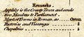
| map feature:- | baroque cartouche & table of symbols & compass rose & up is N & scale line & lat and long scales (rectangular projection) & lat and long grid & sea plain & coast shaded & rivers & lakes & relief & hillocks & forests & parks & county & wards & settlements & roads | |
| inscription:- |
printed title, lower right
WESTMORLAND / Divided into its / WARDS / Drawn and Engraved / for / Dr. Burn's / History of that County / By Thos. Kitchin Senr. / Hydrographer to his MAJESTY. |
|
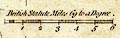
| inscription:- |
printed above scale line
British Statute Miles 69 to a Degree |
|
| scale line:- | 12 miles = 45.3 mm | |
|
||
|
||
| sources:- |
Armitt Library Kendal Library Maps |
|
| items seen (illustrated items in bold):- | ||

|
Armitt Library : ALMC2008.14.73 -- map -- Westmorland, Divided into its Wards | |
|
|
Kendal Library (13_2) -- map -- Cumberland, Divided into its Wards | |