 Kelly's Map of Westmorland

|

|
|
|
map type:- Kelly 1929 map |
|
|
|
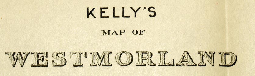
Kelly's Map of Westmorland, scale about 3.5 miles to 1
inch, published by Kelly's Directories, 186 Strand, London,
1929.
Included, folded and tipped in, in Kelly's Directory of Cumberland and Westmorland. There is an inset street plan, Plan of Kendal. Published again in Kelly's Directory of Cumberland and Westmorland 1938, with an added inscription bottom right 'PRINTED BY SUTTLEY & SILVERLOCK LTD., ANDOVER, HANTS.' |
||
|
(example Carlisle Library (2_1)
|
||
| map feature:- | folded (3x2) & up is N & scale line & sea tinted & coast form lines & rivers & lakes & relief & spot heights & forests & parks & county & settlements & roads (1st and 2nd class roads emphasised in red and blue) & canals & railways | |
| inscription:- |
printed upper left
KELLY'S / MAP OF / WESTMORLAND |
|
| inscription:- |
printed bottom left, right, centre
Copyright. / Drawn & Engraved by Kelly's Directories Ltd., 186, Strand, W.C.2 / London. Kelly & Co. Ltd., Directory Offices, 186, Strand W.C.2. |
|
| wxh, sheet:- | 42.5x34cm | |
| wxh, map:- | 381x308mm | |
| inscription:- |
printed with scale line
Scale of Miles |
|
| scale:- | 1 to 210000 ? (1 to 209006 from scale line) | |
|
||
| sources:- |
Carlisle Library |
|