 Jackson 1845 map

|

|
|
|
map type:- Jackson 1845 map |
|
|
|
Map of the Lakes, scale about 4.5 miles to 1 inch, drawn
and engraved by W H Lizars, Edinburgh, published by J
Jackson, Market Place, Ulverston, Lancashire, 1845;
published 1845-51.
Included in a Tourist's Manual published by J Jackson, 1845 and 1847, and in a Hand Book to The Lakes, by James Gibson, 1852 and 1854. |
||
|
(example Armitt Library : A1131.2)
|
||
| map feature:- | folded (3x3) & north point & up is N & scale line & lat and long scales (minimal; Longitude West from Greenwich) & sea plain & coast shaded & foreshore sands & rivers & lakes & relief & hill hachuring & forests & parks & county & settlements & roads & sands roads & canals & railways | |
| inscription:- |
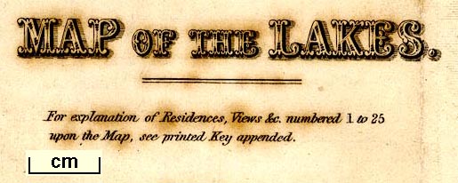
printed lower left
MAP OF THE LAKES. / For explanation of Residences, Views, &c. numbered 1to25 / upon the Map, see printed Key appended. |
|
| inscription:- |
printed bottom right, centre
Drawn & Engd. by W. H. Lizars, Edinr. / Published by J. Jackson, Bookseller, Ulverston. |
|
| wxh, sheet:- | 27x36cm | |
| wxh, map:- | 241x332mm | |
| inscription:- |
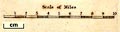
printed with scale line
Scale of Miles |
|
| scale line:- | 10 miles = 55.0 mm | |
| scale:- | 1 to 290000 ? (1 to 292608 from scale line) | |
|
||
| sources:- |
Bicknell 1990 Armitt Library |
|
| items seen (illustrated items in bold):- | ||

|
Armitt Library : A1131.2 -- map -- Map of the Lakes | |
|
|
Armitt Library : A1151.2 -- map -- Map of the Lakes | |