 Furness Railways and Connections

|

|
|
|
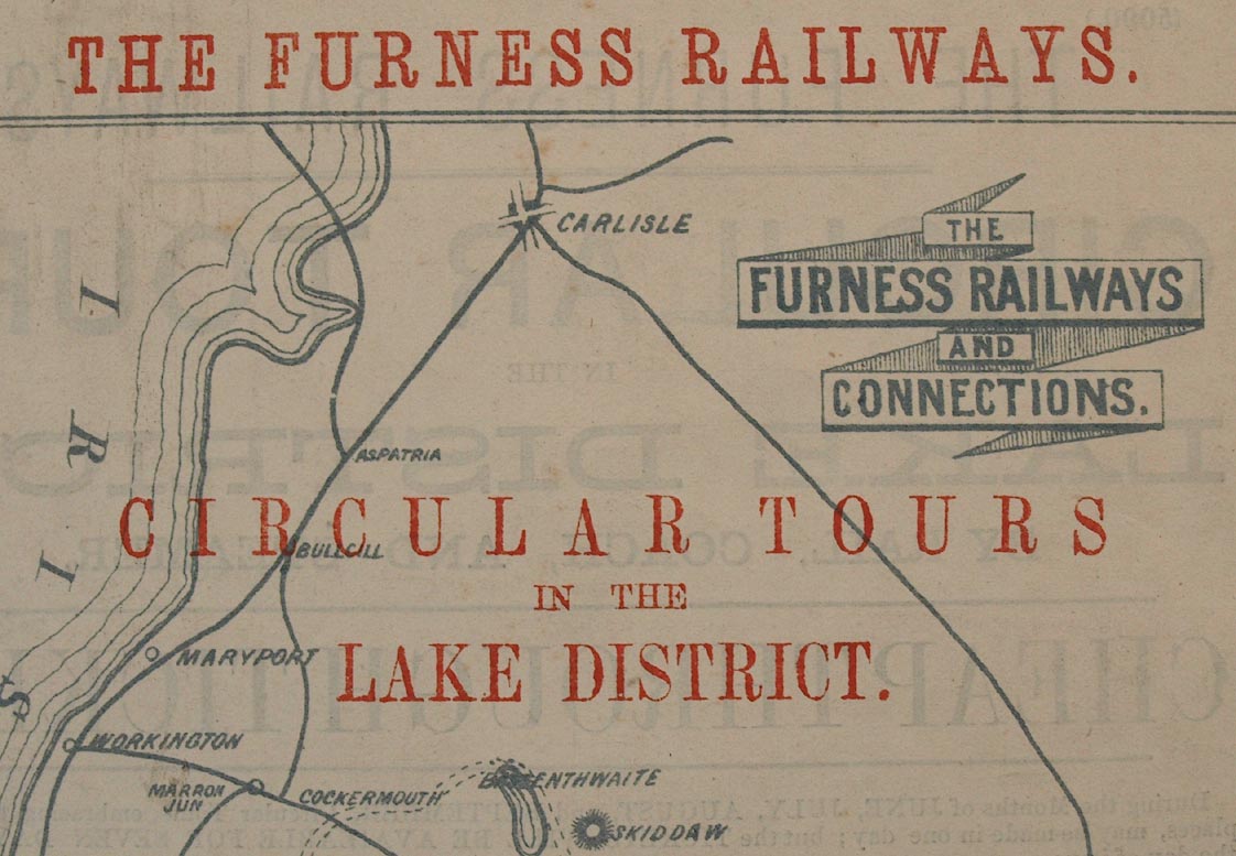
map type:- Furness Railway 1870s |
|
|
|
Railway map, Furness Railways and Connections, scale
about 6 miles to 1 inch, printed for the Furness Railway by
Waddington and Co, Herald Office, Church Street,
Barrow-in-Furness, Lancashire, 1870s?
Advertising circular tours in the Lake District. |
||
|
(example Carlisle ibrary (178))
|
||
| map feature:- | title cartouche & banner cartouche & compass rose & up is N & sea plain & coast form lines & lakes & relief & hill hachuring & settlements & roads (just to connect railways) & railways & shipping routes | |
| inscription:- |
printed top
THE FURNESS RAILWAYS |
|
| inscription:- |
printed upper right, banner cartouche
THE / FURNESS RAILWAYS / AND / CONNECTIONS |
|
| inscription:- |
printed upper centre
CIRCULAR TOURS / IN THE / LAKE DISTRICTS. |
|
| inscription:- |
printed reverse page
THE FURNESS RAILWAYS / CIRCULAR TOURS / IN THE / LAKE DISTRICT, / BY RAIL, COACH AND STEAMER. / CHEAP THROUGH TICKETS / ... |
|
| inscription:- |
printed reverse page, bottom
[Waddington] and Co., Printers, "Herald" Office, Church Street, Barrow-in-Furness. |
|
| wxh, sheet:- | 19.5x29cm | |
| wxh, map:- | 154x248mm | |
| scale:- | 1 to 380000 ? (estimate) | |
| sources:- |
Carlisle Library Maps |
|
| items seen (illustrated items in bold):- | ||

|
Carlisle Library : Map 102 -- railway map -- Furness Railways and Connections -- Furness Railways, The | |