|

|
|
|
|
map type:-
Ferguson
1876
|

|
|
|
Road map, An Attempt at a Skeleton Map of the Roman Roads
of Cumberland and Westmorland, by R S Ferguson, published by
the Cumberland and Westmorland Archaeological and
Antiquarian Society, 1878.
With an Article on the Romans in Cumbria.
|
|
|
map feature:-
|
table of symbols (road types) & up is N & sea plain
& coast form lines & rivers & lakes &
settlements & roads & roman roads
|
|
|
inscription:-
|
printed lower left
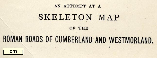
AN ATTEMPT AT A / SKELETON MAP / OF THE / ROMAN ROADS OF
CUMBERLAND AND WESTMORLAND.
|
|
|
wxh, sheet:-
|
24.5x30.5cm
|
|
|
wxh, map:-
|
229x277mm
|
|
|
|

|
|
|
references:-
|
Ferguson, R S: 1878: Attempt at a Survey of Roman Cumberland
and Westmorland; with remarks on Agricola's Line of March,
and on the importance of the camp at Old Carlisle, and on
the 10th Iter of Antoninus: Trans CWAAS: vol.3: pp.64-94;
with plates
|
|
|
sources:-
|
private collection
|
|
|
items seen (illustrated items in bold):- |
|
|

|
private collection (238)
-- map -- Attempt at a Skeleton Map of the Roman Roads of
Cumberland and Westmorland
|


 Attempt at a Skeleton Map of the Roman Roads of Cumberland
and Westmorland