 Map and Sections of the Railways of Great Britain

|

|
|
|
map type:- Bradshaw 1839 |
|
|
|
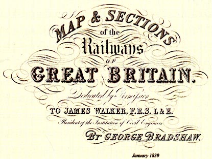
Map and Sections of the Railways of Great Britain,
published by George Bradshaw, 1839.
|
||
| map feature:- | compass rose & up is N & scale line & relief (railways) & gradient diagram (railway) & sea plain & coast line & rivers & lakes & county & settlements & roads & railways | |
| inscription:- |
printed upper right
MAP & SECTIONS / of the / Railways / OF / GREAT BRITAIN. / Dedicated by Permission / TO JAMES WALKER, F.R.S. L & E. / President of the Institution of Civil Engineers / BY GEORGE BRADSHAW. / January 1839. |
|
| wxh, map:- | 102x158cm (about) | |
| references:- |
Spaven, David & Holland, Julian: 2011: Times Mapping the
Railways, The: Times Books (London):: ISBN 978 0 00 790286
6 |
|