 Road Map of Cumberland

|

|
|
|
map type:- Bell 1892 |
|
|
|
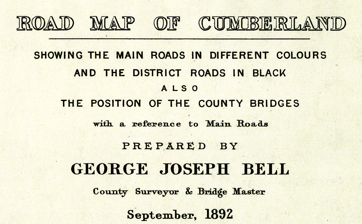
Road Map of Cumberland, by George Joseph Bell, scale
about 2.5 miles to 1 inch, printed by Charles Thurnam and
Sons, Carlisle, Cumberland, 1892.
Joseph Bell was County Surveyor and Bridge Master, the map presumably shows his responsibilities in 1892. |
||
|
(example Carlisle Library (18))
|
||
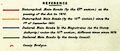
| map feature:- | table of symbols & compass rose & up is N & scale line & sea plain & coast line & bridges & lakes & county & settlements & roads | |
| inscription:- |
printed lower right
ROAD MAP OF CUMBERLAND / SHOWING THE MAIN ROADS IN DIFFERENT COLOURS / AND THE DISTRICT ROADS IN BLACK / ALSO / THE POSITION OF THE COUNTY BRIDGES / with a reference to Main Roads / PREPARED BY GEORGE JOSEPH BELL / County Surveyor & Bridge Master / September 1892. |
|
| wxh, map:- | 553x719mm | |
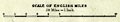
| inscription:- |
printed with scale line
SCALE OF ENGLISH MILES / 2 1/2 Miles - 1 Inch |
|
|
||
|
||
| sources:- |
Carlisle Library Maps |
|
| items seen (illustrated items in bold):- | ||

|
Carlisle Library : Map 38 -- road map -- Road Map of Cumberland | |