 Cumberland and Westmorland

|

|
|
|
map type:- Bartholomew 1900s-20s |
|
|
|
Map, Cumberland and Westmorland, scale about 4 miles to 1
inch, by John Bartholomew and Son, Edinburgh, early 20th
century?
All the railways in Cumbria are shown. |
||
|
(example Carlisle Library : ZA912.5)
|
||
| map feature:- | table of symbols & up is N & scale line & lat and long scales & lat and long grid & sea tinted & coast line & rivers & lakes & relief & hill hachuring & woods & trees & forests & parks & county & settlements & roads & canals & railways | |
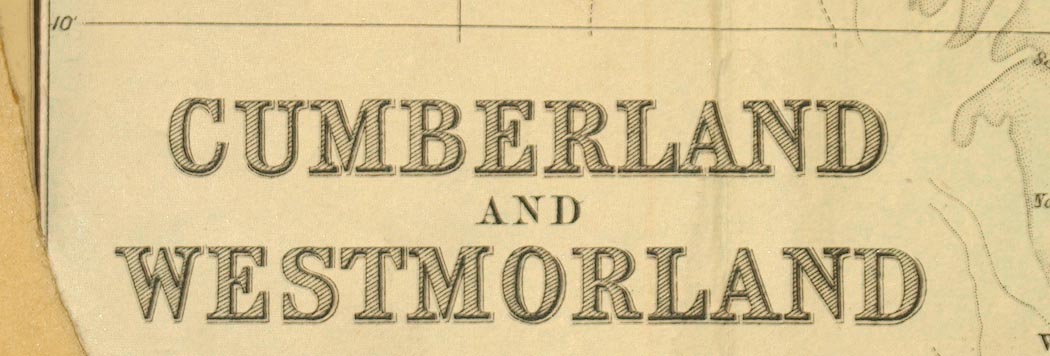
| inscription:- |
printed lower left
CUMBERLAND / AND / WESTMORLAND |
|
| inscription:- |
printed bottom right
John Bartholomew & Son, Ltd, Edinr. |
|
| wxh, sheet:- | 41.5x54.5cm | |
| wxh, map:- | 385x513mm | |
| inscription:- |
printed with scale line
Scale 4 Miles to an Inch |
|
| scale line:- | 10 miles = 64.3 mm | |
| scale:- | 1 to 250000 ? (1 to 250287 from scale line) | |
| sources:- |
Carlisle Library Maps |
|
| items seen (illustrated items in bold):- | ||

|
Carlisle Library : Map 292 -- map -- Cumberland and Westmorland | |