 Automobile Association Touring Map of England and
Wales
Automobile Association Touring Map of England and
Wales

|

|
|
|
map type:- AA 1920s |
|
|
|
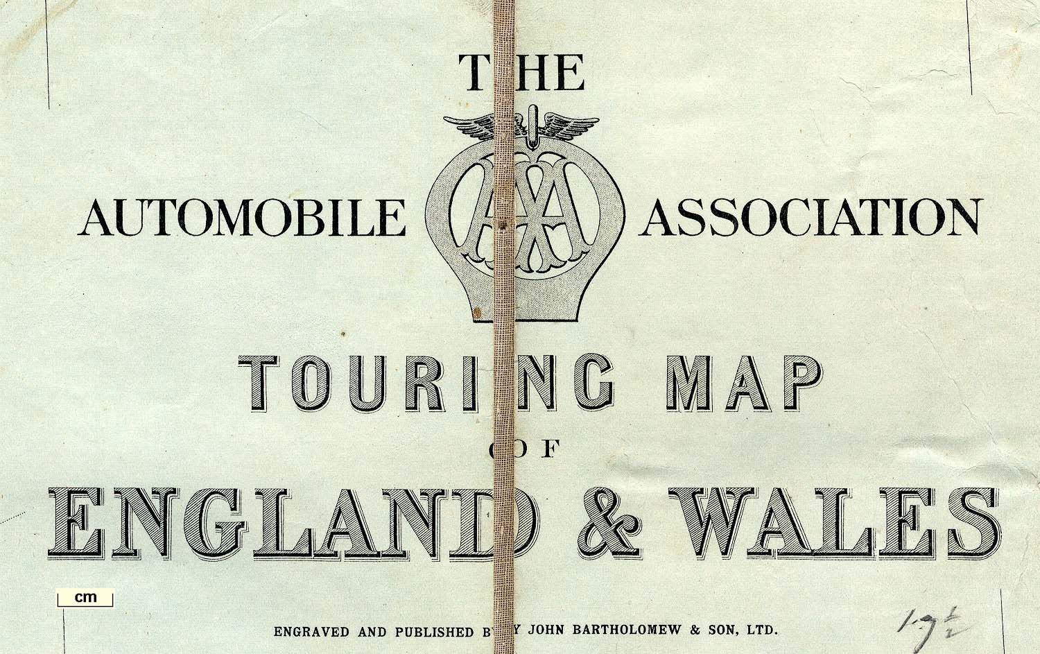
Road map, The Automobile Association Touring Map of
England and Wales, scale about 12 miles to 1 inch, published
for the AA by John Bartholomew and Sons, The Geographical
Institute, Duncan Street, Edinburgh, about 1920s.
An inset map at a smaller scale shows Industrial and Congested Areas, including the coastal part of Cumbria from Maryport to south of Egremont. |
||
|
(map example JandMN (123))
|
||
| map feature:- | sectioned for folding & mounted & folded & table of symbols & up is N & scale line & lat and long scales & lat and long grid & sea tinted & coast tinted & rivers & lakes & relief & contours & layer colouring & table of heights & county & settlements & roads & railways & shipping routes & inset map | |
| inscription:- |
printed
upper right : THE / AUTOMOBILE ASSOCIATION / TOURING MAP / OF / ENGLAND & WALES / ENGRAVED AND PUBLISHED BY JOHN BARTHOLOMEW & SON, LTD. AA badge |
|
| inscription:- |
printed bottom left and right
COPYRIGHT / JOHN BARTHOLOMEW & SON, LTD., EDINBURGH |
|
| inscription:- |
printed cover
AA / THE / AUTOMOBILE ASSOCIATION / TOURING MAP OF / ENGLAND & WALES / TWELVE MILES TO AN INCH / Price 6s. 6d. Nett / PUBLISHED BY / JOHN BARTHOLOMEW & SON, LTD., / The Geographical Institute, EDINBURGH colour scene of tourists in an open tourer motor car, carrying an AA badge, using a map, drawn by A.S.K. |
|
| wxh, folded:- | 13x22cm | |
| wxh, sheet:- | 76x97cm | |
| wxh, map (including gaps):- | 738x938mm | |
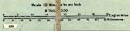
| scale line:- | 35 miles = 74.1 mm (approx) | |
| scale:- | 1 to 760000 ? (1 to 760149 from scale line) | |
|
||
|
||
| sources:- |
JandMN Collection |
|
| items seen (illustrated items in bold):- | ||

|
JandMN (123) -- road map -- Automobile Association Touring Map of England and Wales | |