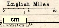
Map, Cumberland and Westmorland, scale about 11.5 miles to 1 inch, by W and A K Johnston, Edinburgh, published by Charles Thurnam and Sons, Carlisle, Cumberland 1910s-20s. (Thurnam 1910s-20s map 2)
Lakes Guides menu.
 Lakes Guides menu.