item:-
JandMN : 450
image:-
©
see bottom of page
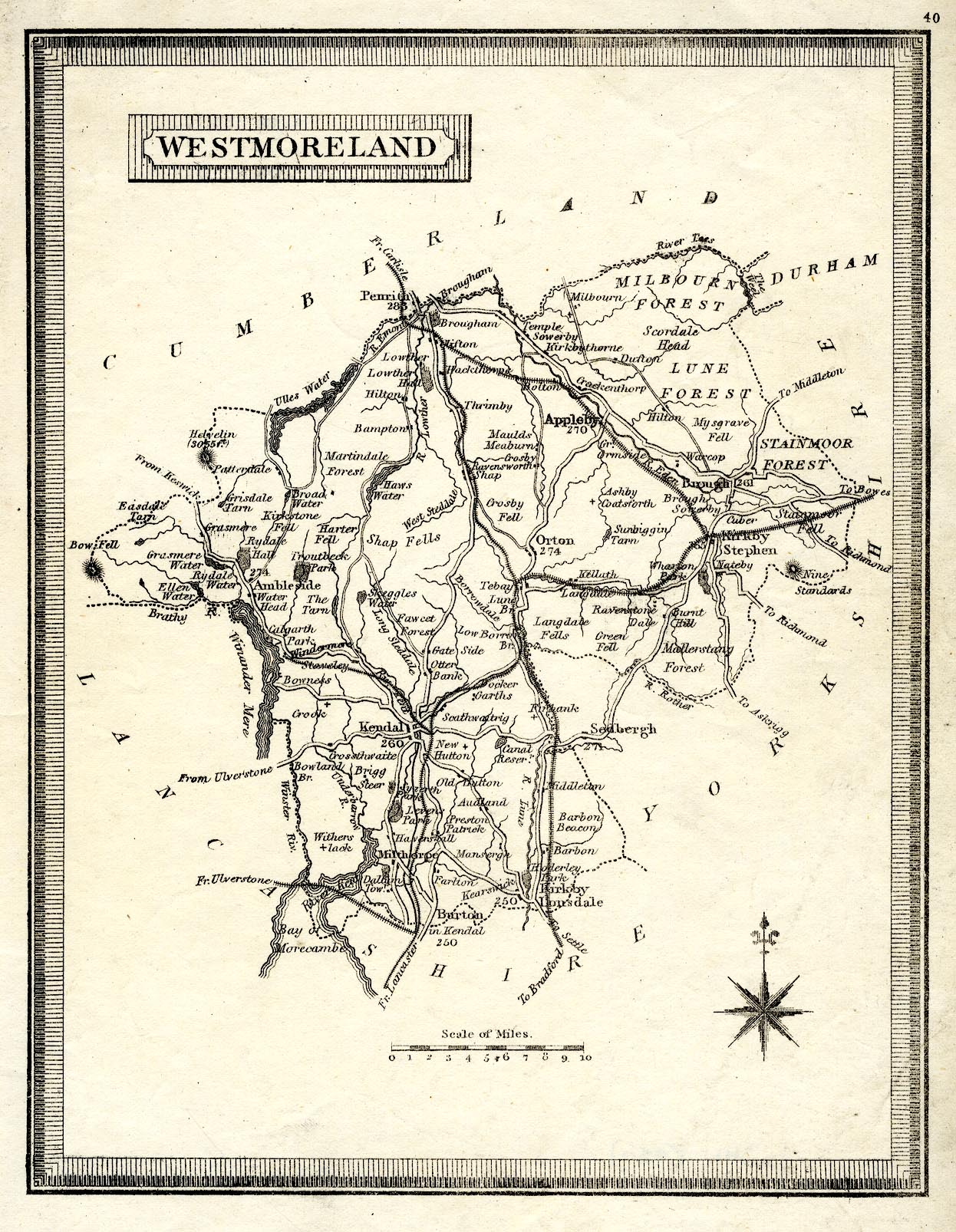
TD12.jpg
Map, uncoloured, Westmoreland ie Westmorland, scale about 8 miles to 1 inch, published by Henry Teesdale and Co, 302 Holborn, London, 1830.
Lakes Guides menu.
 Lakes Guides menu.