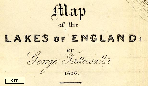
Map of the Lakes of England, scale about 4 miles to 1 inch,
by George Tattersall, engraved by J Nethercliff, 23 King
William Street, Strand, published by Sherwood and Co, 23
Paternoster Row, London, about 1836. (Tattersall 1836 map)
 Lakes Guides menu.