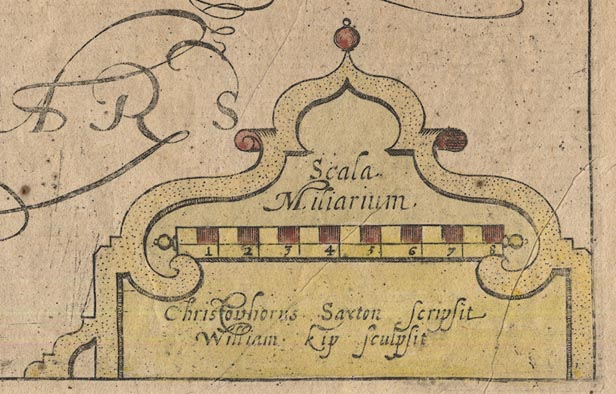
Maps, Westmorlandiae Comitatus, the County of Westmorland,
scale about 3.5 miles to 1 inch, and Cumberlandia,
Cumberland, scale about 5 miles to 1 inch, by Christopher
Saxton, 1576, engraved by William Kip, London, 1607;
published 1607-1637. (Camden 1607 map)
 Lakes Guides menu.