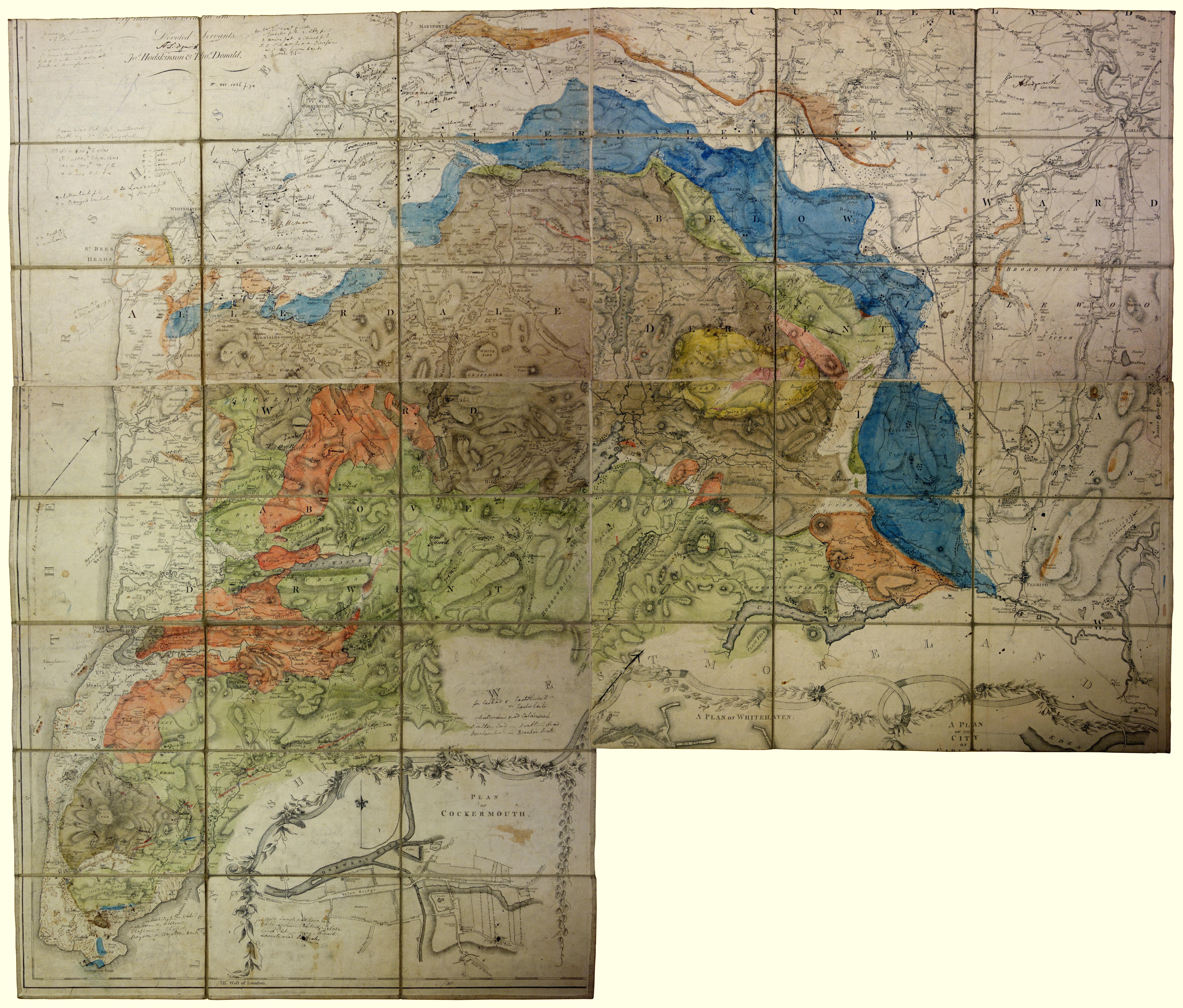
item:- Sedgwick Archive : map 54
image:- © see bottom of page
 SW02.jpg
Geological map, The County of Cumberland, scale about 1 mile to 1 inch, surveyed by
Thomas Donald, 1770-71, published by William Faden, Charing Cross, 1774, 2nd edn 1802;
geologically coloured by Adam Sedgwick, perhaps from about 1823?
 Lakes Guides menu.


 Lakes Guides menu.