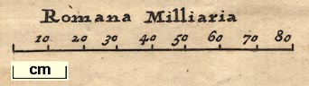
Road map, Itinerarium per Britanniam, the Antonine Itineraries through Britain, scale about 55 miles to 1 inch, plotted by William Stukeley, 1723, published London, 1724. (Stukeley 1723)
Lakes Guides menu.
 Lakes Guides menu.