item:- JandMN : 310
image:- © see bottom of page
 STN5.jpg
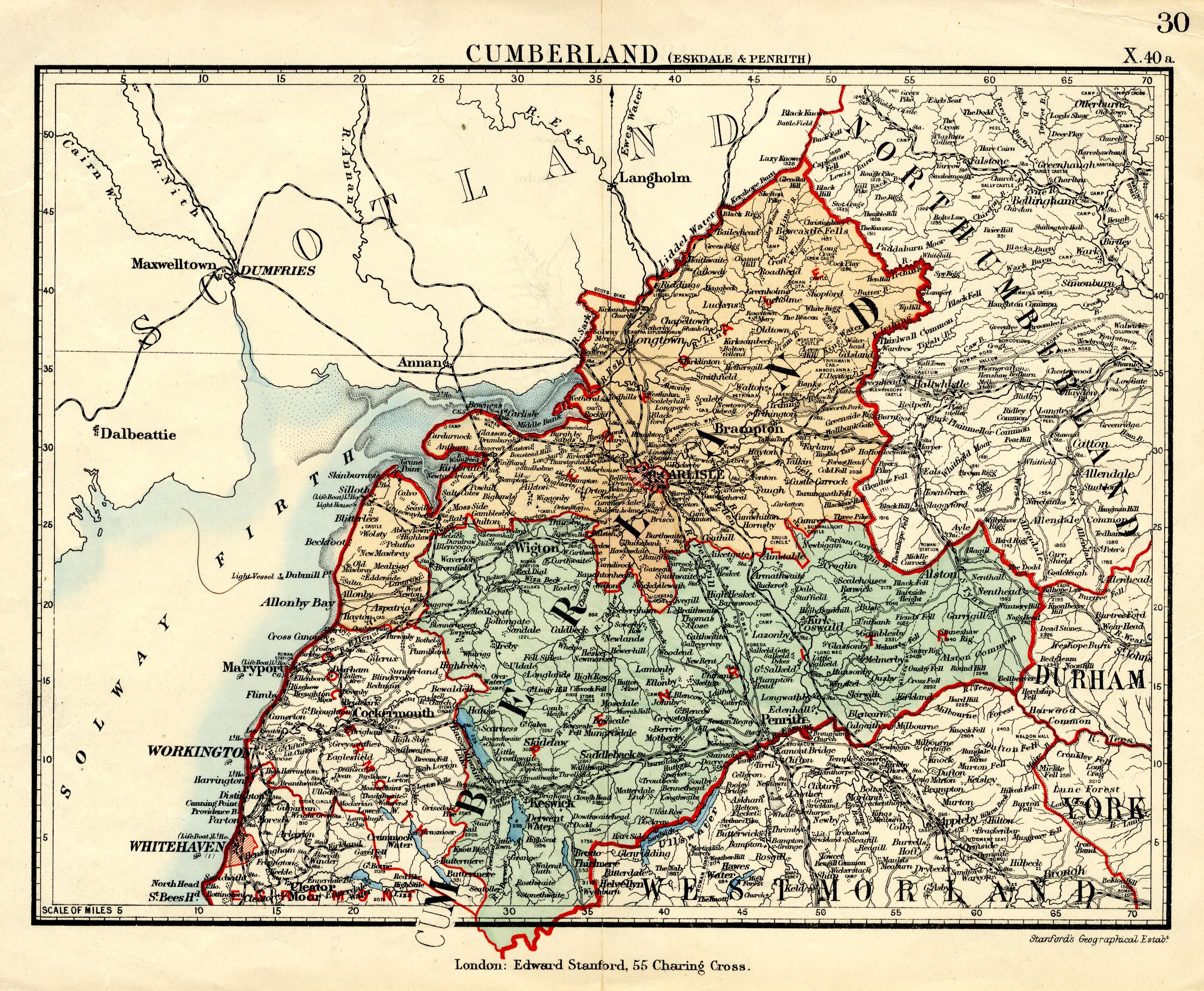
Map, colour lithograph, page 30 or X.40a, Cumberland, Eskdale
and Penrith, scale about 8 miles to 1 inch, published by Edward
Stanford, Stanford's Geographical Establishment, 55 Charing
Cross, London, 1885.
 Lakes Guides menu.