item:- JandMN : 151.1
image:- © see bottom of page
 STN4.jpg
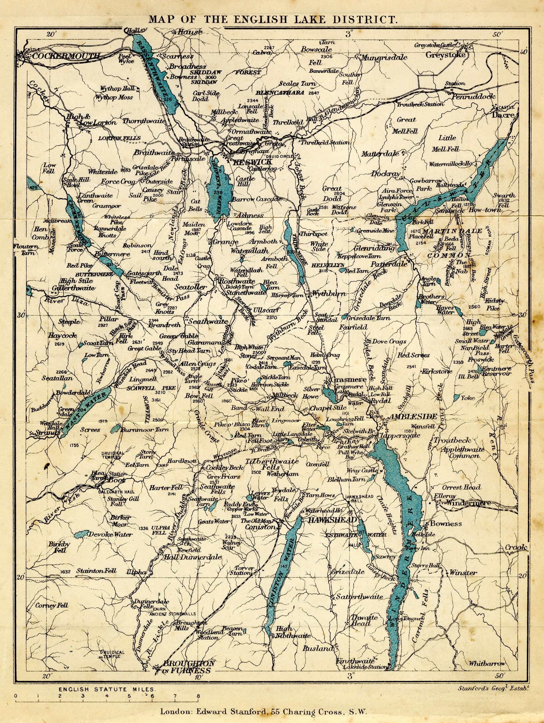
Map, colour printed, Map of the English Lake District, scale
about 4 miles to 1 inch, by Edward Stanford, Stanford's
Geographical Establishment, 55 Charing Cross, London, 1880?.
 Lakes Guides menu.