item:- Hampshire Museums : FA2002.654.8
image:- © see bottom of page
 ST08.jpg
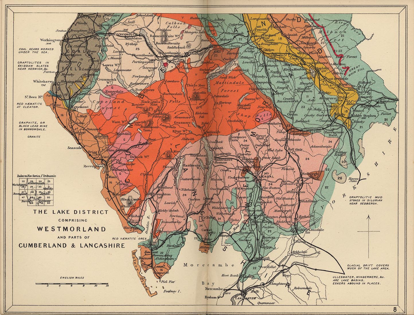
Geological map, colour printed, Lake District, ie Westmorland,
and parts of Cumberland and Lancashire, scale about 7 miles to 1
inch, in Stanford's Geological Atlas of Great Britain and
Ireland, by Horace B Woodward, published by Edward Stanford,
12-14 Long Acre, London, 3rd edn 1914.
 Lakes Guides menu.