item:- Kendal Library : 11.1
image:- © see bottom of page
 SPW1.jpg
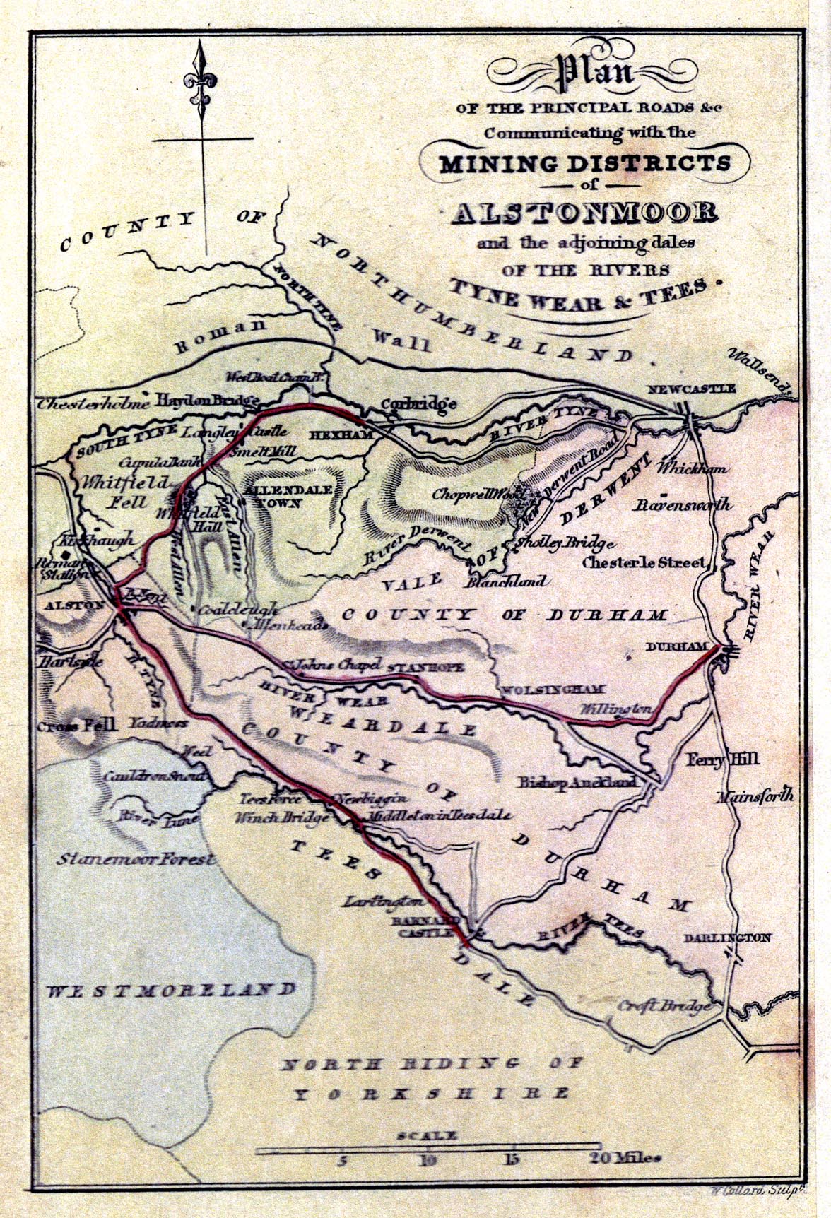
Map, hand coloured engraving, Plan of the Principal Roads
Communicating with the Mining Districts of Alstonmoor, ...,
scale about 12.5 miles to 1 inch, by T Sopwith, engraved by W
Collard, published by W Davison, Alnwick, Durham, 1833.
 Lakes Guides menu.