item:- Armitt Library : A6632.40
image:- © see bottom of page
 SP29Yk.jpg
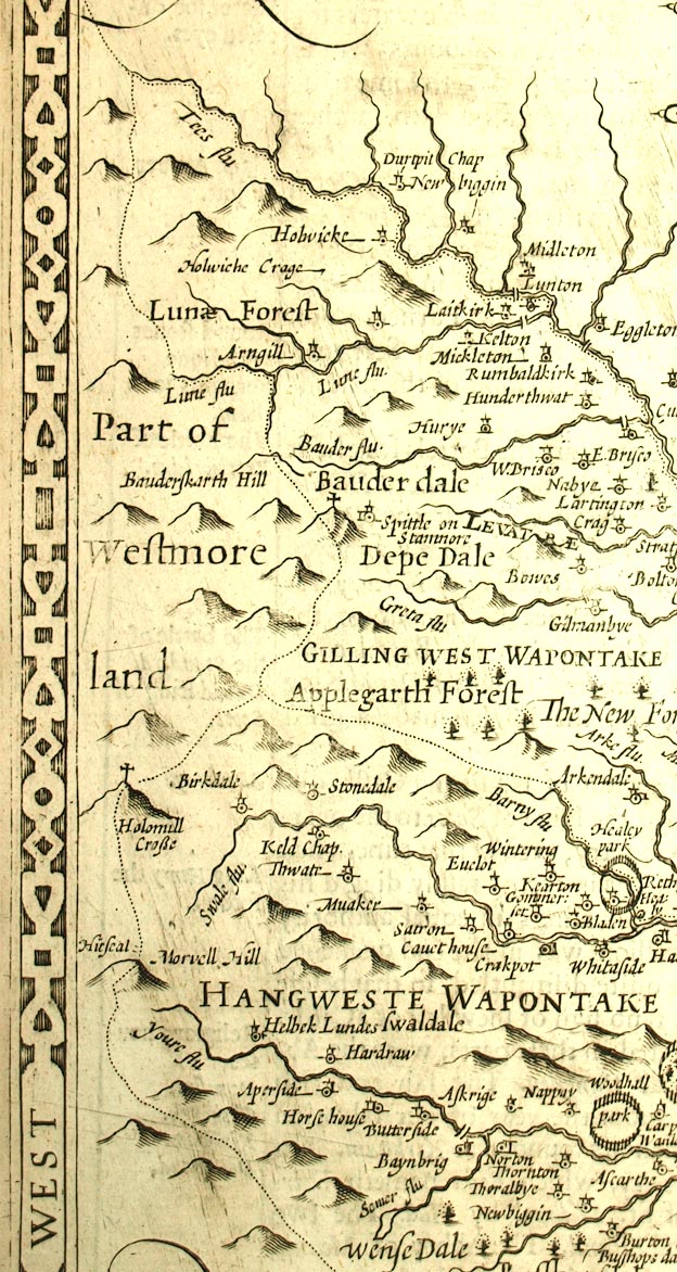
Map, uncoloured engraving, The North and East Ridins of
Yorkshire, scale about 4 miles to 1 inch, by John Speed 1610,
published by Thomas Bassett, The George, Fleet Street, and
Richard Chiswell, The Rose and Crown, St Paul's Churchyard,
London, 1676.
 Lakes Guides menu.