item:- Armitt Library : A6632.2
image:- © see bottom of page
 SP19Cm.jpg
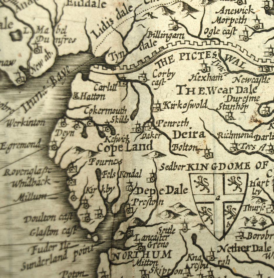
Map, uncoloured engraving, Britain as it was Devided in the tyme
of the Englishe Saxons especially during their Heptarchy, scale
roughly 21 miles to 1 inch, by John Speed, 1611, published by
Thomas Bassett, The George, Fleet Street, and Richard Chiswell,
The Rose and Crown, St Paul's Churchyard, London, 1676.
 Lakes Guides menu.