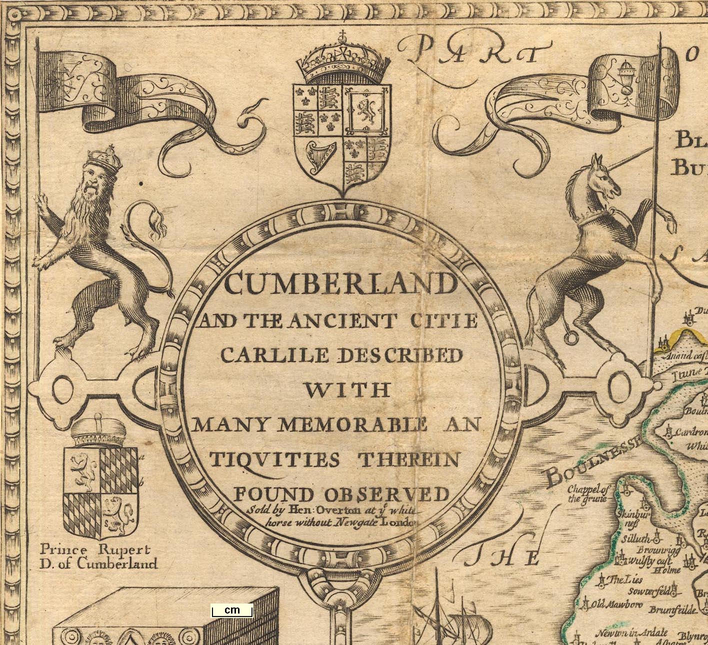
Maps, Countie Westmorland and Kendale the Cheif Towne, scale
about 3.5 miles to 1 inch, and Cumberland and the Ancient
Citie Carlile, scale about 4 miles to 1 inch, by John Speed,
1611 altered by Christopher Browne, 1695; altered and
published by Henry Overton, London, 1713-43; published
1713-1770. (Speed 1695)
 Lakes Guides menu.