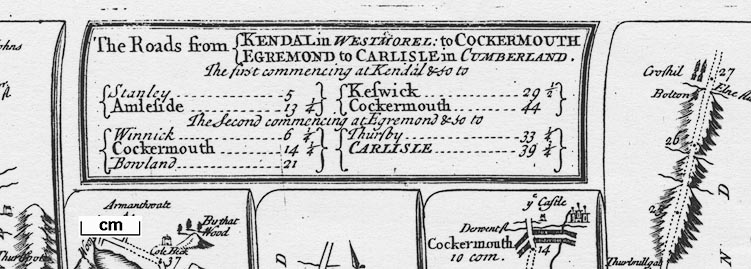
Road book, Survey of all the Principal Roads of England and
Wales, including road strip maps with sections in
Westmorland, Cumberland, etc, scales about 2.5 miles to 1
inch, derived from maps by Ogilby, 1675, by John Senex,
London, 1719; revised 1757; published up to 1780s. (Senex
1719-57)
 Lakes Guides menu.