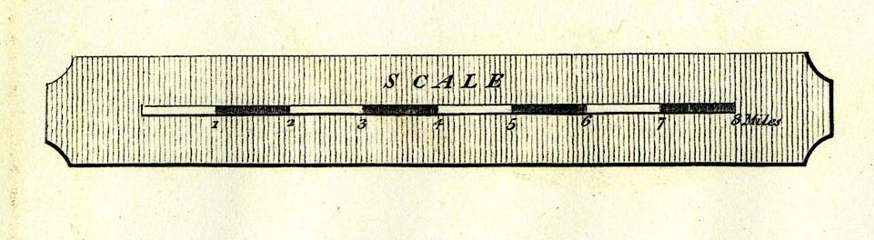
Geological Maps, Geological Map of Westmoreland, scale about
2.5 miles to 1 inch, and Geological Map of Cumberland, scale
about 3.5 miles to 1 inch, by William Smith, published by
John Cary, 86 St James's Street, London, 1824. (Smith 1824)
 Lakes Guides menu.