item:- Carlisle Library : Map 58
image:- © Carlisle Library
 SM16P1.jpg
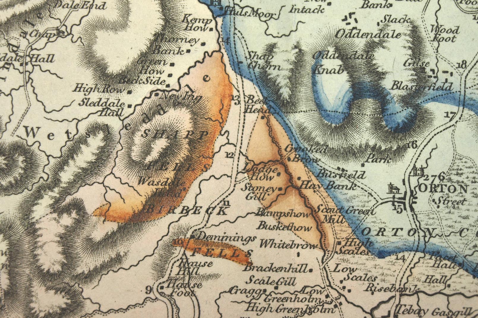
Map, hand coloured engraving, Geological Map of Westmoreland,
scale about 2.5 miles to 1 inch, by William Smith, coloured on a
map by John Cary, published by John Cary, 86 St James's Street,
London, 1824.
 Lakes Guides menu.