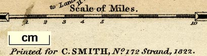
Maps, Westmoreland, scale about 5.5 miles to 1 inch, and Cumberland? by Charles Smith, engraved by Pickett, published by Charles Smith, 172 Strand, London, 1822. (Smith 1822)
Lakes Guides menu.
 Lakes Guides menu.