item:-
JandMN : 72
image:-
©
see bottom of page
SM11.jpg
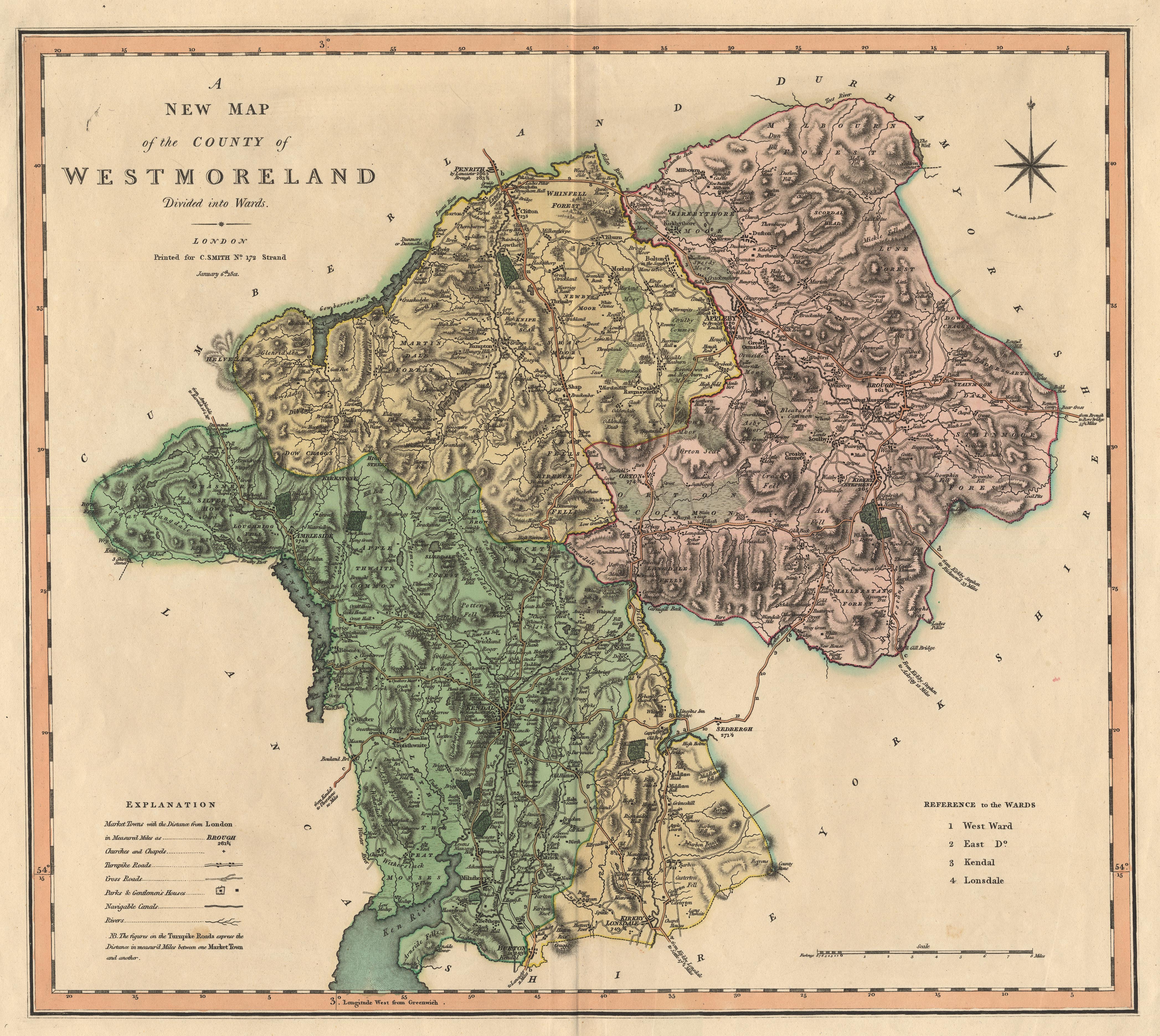
Map, hand coloured engraving, New Map of the County of Westmoreland ie Westmorland, scale about 2.5 miles to 1 inch, published by Charles Smith, 172 Strand, London, 1804.
Lakes Guides menu.
 Lakes Guides menu.