item:- JandMN : 308
image:- © see bottom of page
 SEN4.jpg
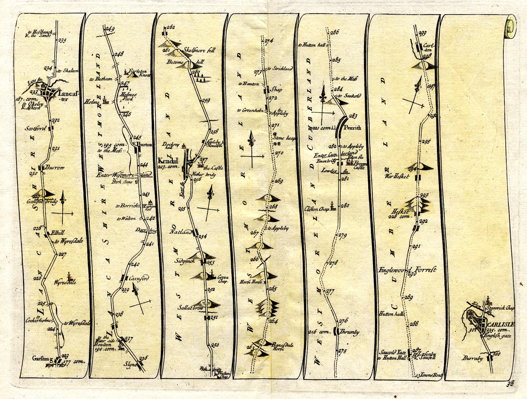
Strip map, road map, plate 38, the road from south of Lancaster
through Westmorland to Carlisle, Cumberland, scale about 2.5
miles to 1 inch, by John Senex, at The Globe, Salisbury-Court,
Fleetstreet, London, 1719.
 Lakes Guides menu.