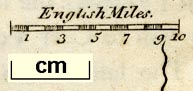
Maps, Westmorland, scale about 8 miles to 1 inch, and Cumberland, scale about 12 miles to 1 inch, by John Seller, 1694, and in an edition of 1787; published 1694-1787. (Seller 1694)
Lakes Guides menu.
 Lakes Guides menu.