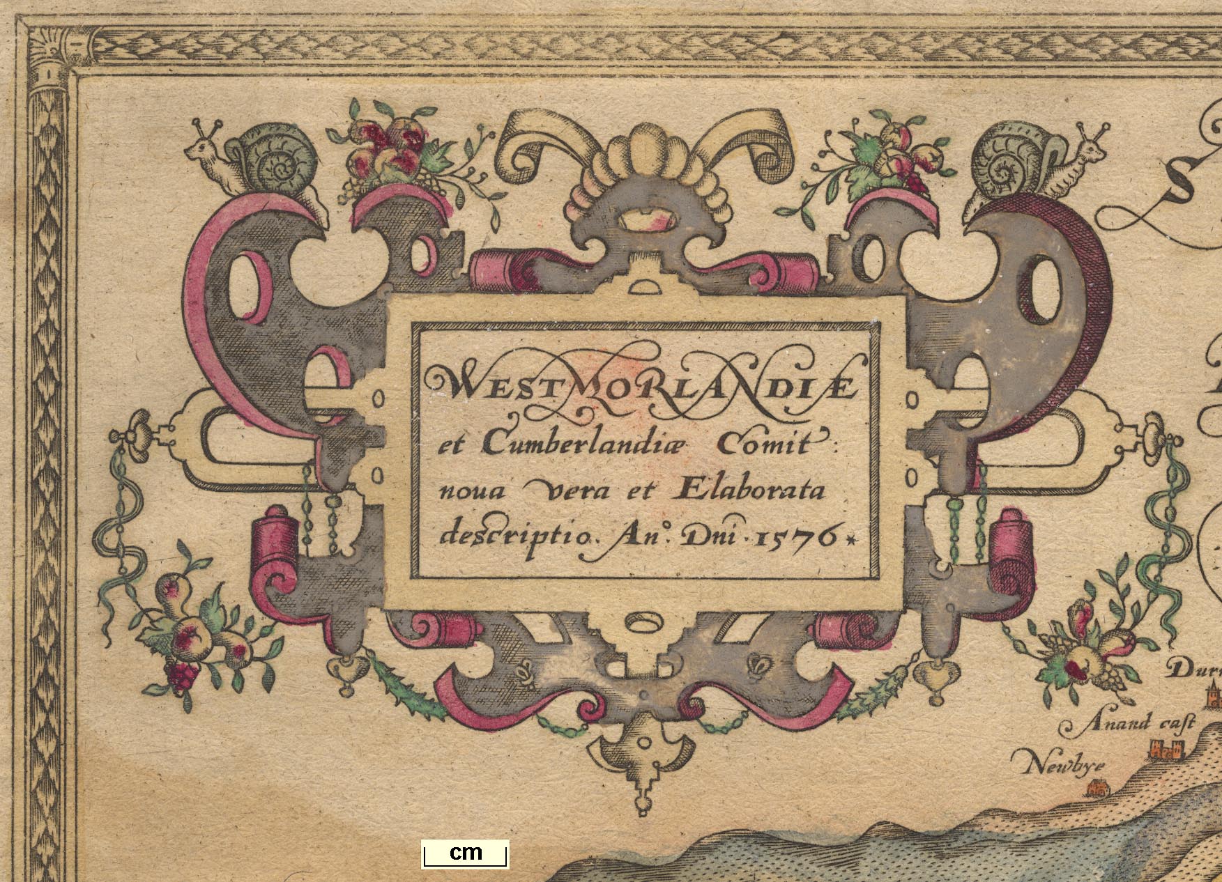
Map, Westmorlandiae et Cumberlandiae Comitatus ie Counties
of Westmorland and Cumberland, scale about 5 miles to 1
inch, by Christopher Saxton, London, engraved by Augustinus
Ryther, 1576 and presumably available from that date,
published with other county maps in an atlas 1579; published
1579-1645. (Saxton 1579)
 Lakes Guides menu.