item:- private collection : 15
image:- © see bottom of page
 Sax5Cm.jpg
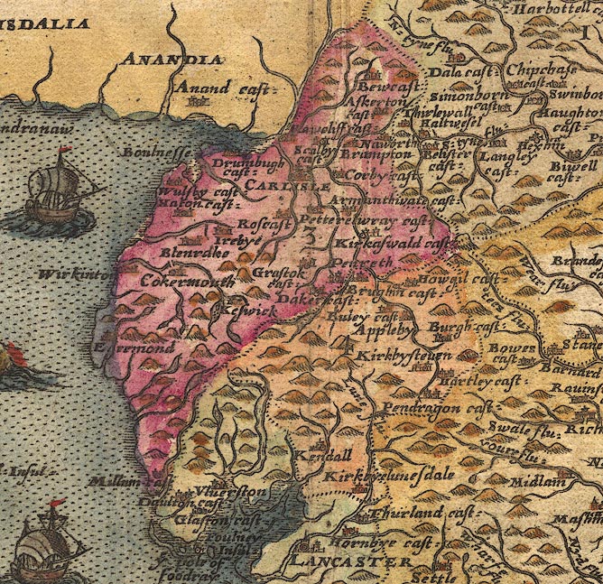
Map, hand coloured engraving, Anglia ie England and Wales, scale
about 22 miles to 1 inch, by Christopher Saxton, engraved by
Augustine Ryther, published in an atlas of counties, London,
1579.
 Lakes Guides menu.