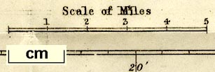
Geological Map of the Lake District, scale about 3.5 miles to 1 inch, by John Ruthven, Kendal, published by John Garnett, Windermere, Westmorland, 1855. (Ruthven 1855)
Lakes Guides menu.
 Lakes Guides menu.