 run2geo.jpg
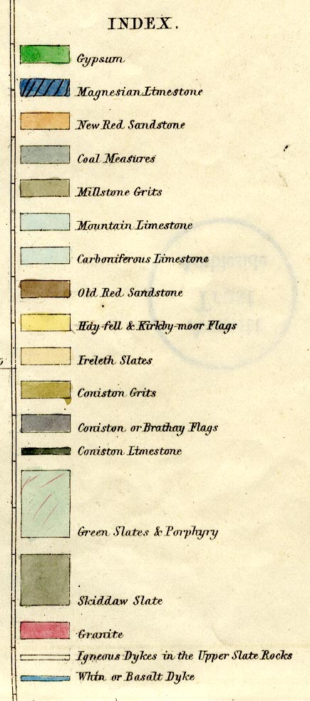
Geological map, hand coloured engraving, Map of the
English Lakes and adjoining country Geologically Coloured,
scale about 3.5 miles to 1 inch, by John Ruthven, Kendal,
engraved by W Banks, Edinburgh, published by John Garnett,
Windermere, Westmorland and by Ackerman and Co, London,
1855.
 Lakes Guides menu.