item:-
Carlisle Library : Map 320
image:-
©
Carlisle Library
ROQ6.jpg
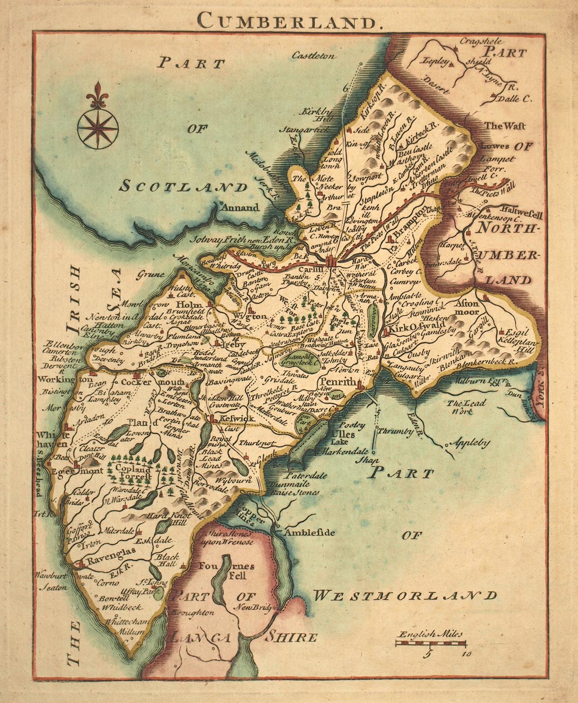
Map, hand coloured engraving, Cumberland, scale about 12 miles to 1 inch, by John Rocque, published Strand, London, 1753.
Lakes Guides menu.
 ROQ6.jpg
 Lakes Guides menu.