item:-
JandMN : 11
image:-
©
see bottom of page
Roq3.jpg
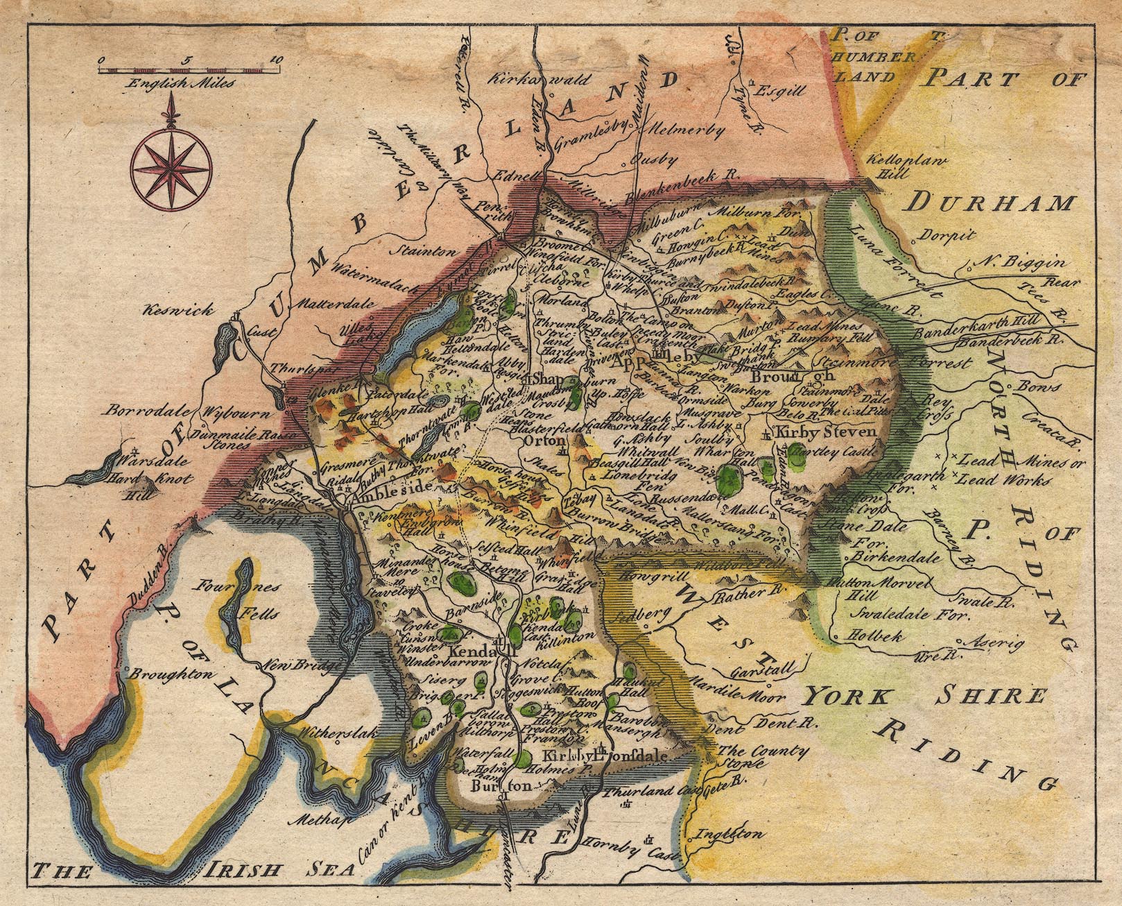
Map, hand coloured engraving, Westmorland, scale about miles 7.5 to 1 inch, by John Rocque, 1746, published Strand, London, 1753.
Lakes Guides menu.
 Lakes Guides menu.