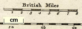
Maps, Westmoreland, scale about 5.5 miles to 1 inch, and Cumberland? engraved by Neele, Strand, published by J and J Cundee, Albion Press, London, 1815; published 1815-19. (Robins 1818)
Lakes Guides menu.
 Lakes Guides menu.