item:- Armitt Library : A4027.8
image:- © see bottom of page
 REY4Wd.jpg
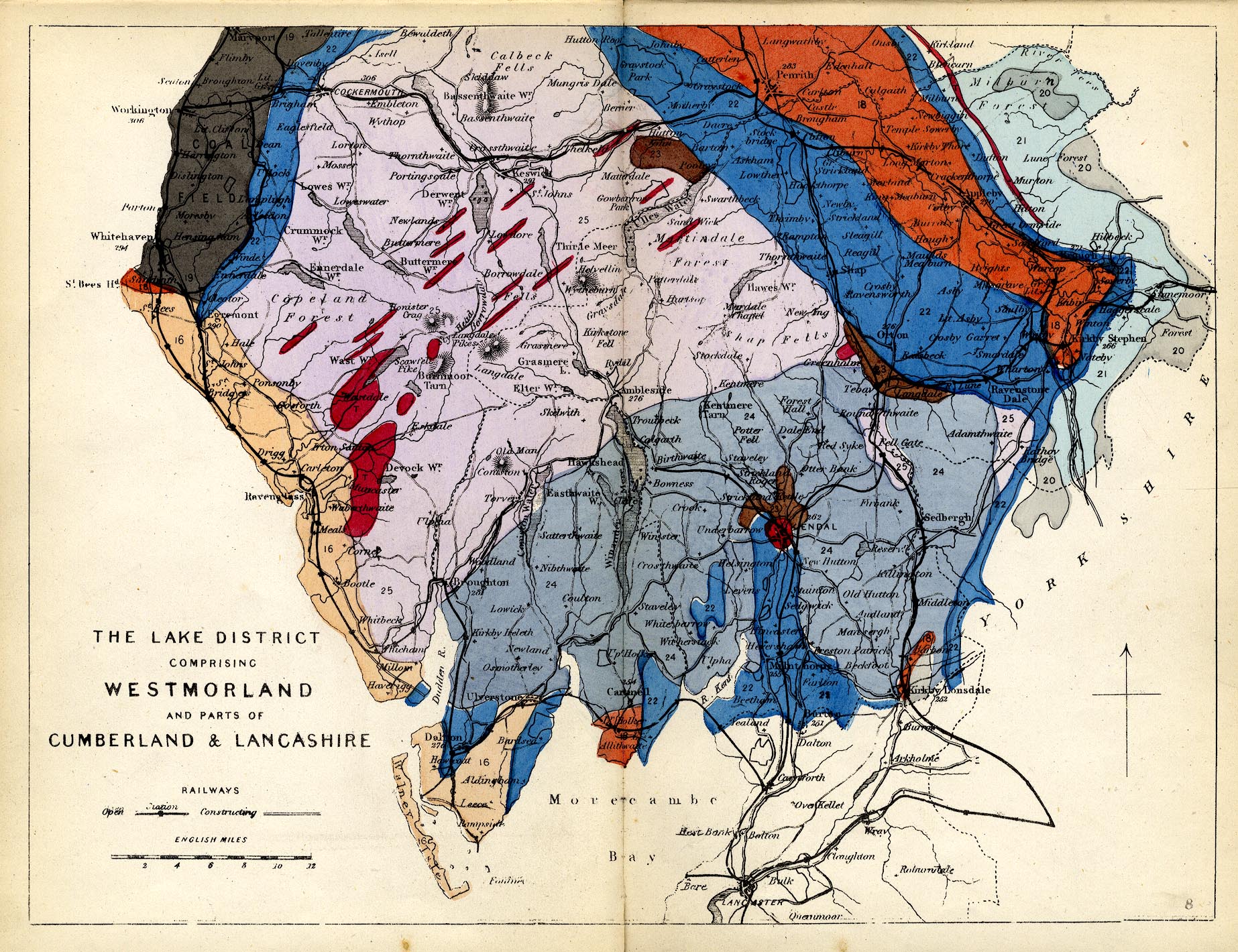
Geological map, hand coloured engraving, The Lake District,
comprising Westmorland and parts of Cumberland and Lancashire,
scale about 8 miles to 1 inch, published by James Reynolds, 174
Strand, London, 1860s.
 Lakes Guides menu.