item:- Carlisle Library : Map 340
image:- © Carlisle Library
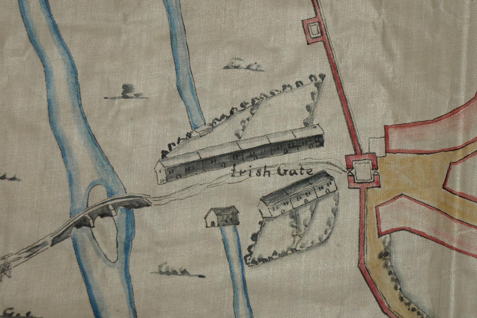 RDS1M4.jpg
Town plan, copy, manuscript ink and wash colour on tracing
paper, Carlile, scale about 32 inches to 1 mile, by James
Richards; the original drawn for Lord Dartmouth, Master of the
Ordnance, 1684-85.
 Lakes Guides menu.