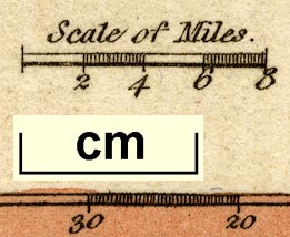
Maps, Westmoreland, scale about 14.5 miles to 1 inch, and Cumberland? printed by James Wallis, Berwick Street, Soho, published by W H Reid, Charing Cross, London, about 1820. (Reid and Wallis 1820)
Lakes Guides menu.
 Lakes Guides menu.