item:- Armitt Library : 2008.14.65
image:- © see bottom of page
 RAM3.jpg
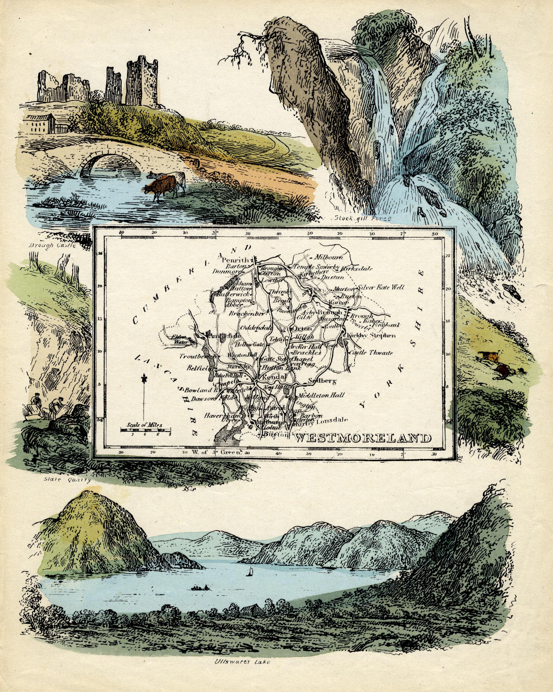
Map, coloured lithograph, Westmoreland ie Westmorland, scale
about 14 miles to 1 inch, copy of the map by R Miller 1810 or by
T Crabb 1819, published by Darton and Clark, 58 Holborn Hill,
London, 1845-50.
 Lakes Guides menu.