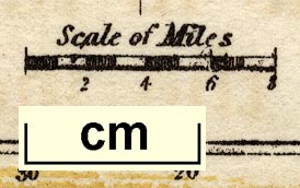
Maps, Westmoreland, scale about 14 miles to 1 inch, and Cumberland? lithograph copy of the map by R Miller 1810 or by T Crabb 1819, published by Darton and Clark, 58 Holborn Hill, London, 1845; published 1845-50. (Ramble 1845)
Lakes Guides menu.
 Lakes Guides menu.