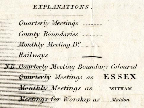
A Map of the Meetings of Friends in England and Wales, with
railways, scale about 30 miles to 1 inch, by James Bowden,
engraved by Nosworthy and Wells, 72 Coleman Street, London,
later engraved by Thomas Wells, then Robert Barclay,
published by the Yearly Meeting of the Society of Friends,
London, 1845-59. (Quaker Map 1840s-50s)
 Lakes Guides menu.