item:- private collection : 6.129
image:- © see bottom of page
 Q129.jpg
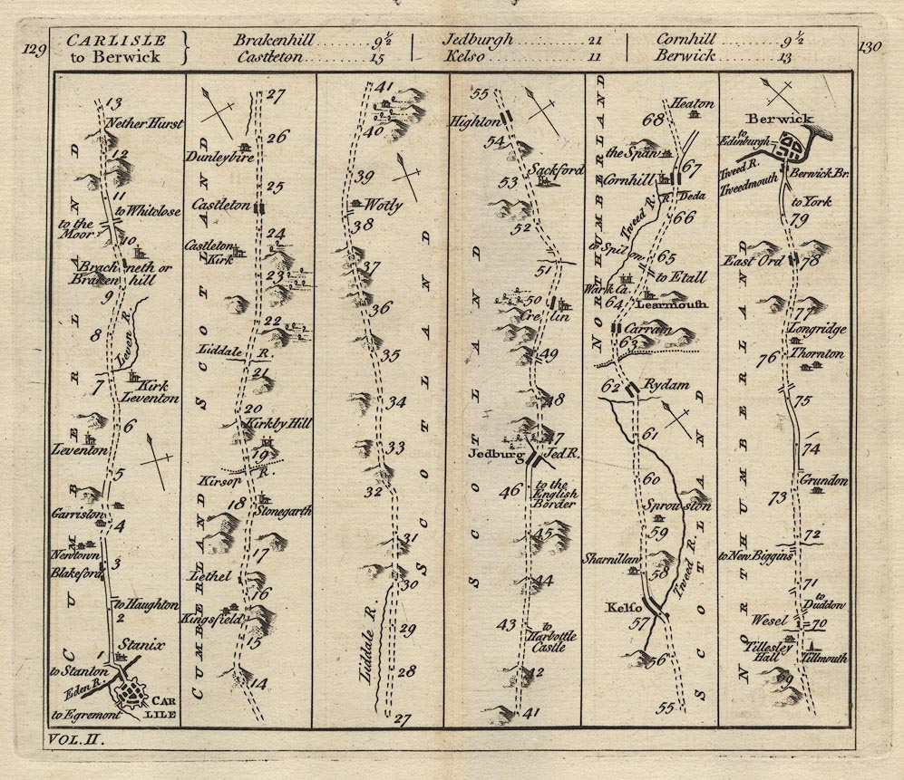
Road strip map, uncoloured engraving, Carlisle to Berwick, scale
about 3 miles to 1 inch, derived from maps by Ogilby 1675,
published by Carington Bowles, London, 1782.
 Lakes Guides menu.