item:- Armitt Library : 2008.14.115
image:- © see bottom of page
 PT4099.jpg
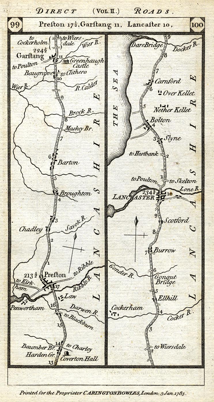
Road strip map, uncoloured engraving, two sided, parts of London
to Carlisle by Coventry and Warrington, scale about 3 miles to 1
inch, by Captain Daniel Paterson, published by Carington Bowles,
69 St Paul's Churchyard, London, 1785.
 Lakes Guides menu.