item:- JandMN : 162.1
image:- © see bottom of page
 PST1.jpg
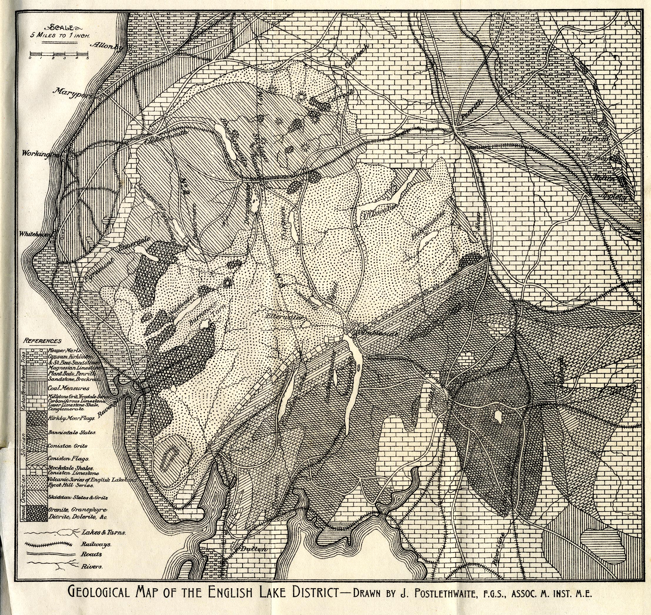
Geological map, uncoloured engraving, Geological Map of the English Lake District,
Westmorland, Cumberland, Lancashire, scale about 5 miles to 1 inch, by John Postlethwaite,
published by W H Moss and Sons, 13 Lowther Street, Whitehaven, Cumberland, 1877 edn
1913.
 Lakes Guides menu.