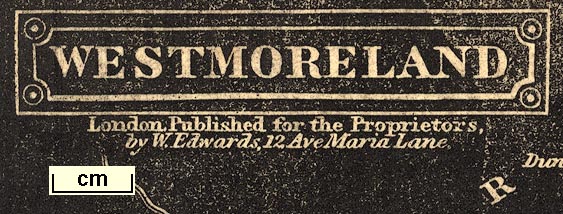
Maps, Westmoreland, scale about 6 miles to 1 inch, and Cumberland, scale about 8 miles to 1 inch, engraved by J Archer, published by William Edwards, Ave Maria Lane, London, 1833-34. (Pinnock 1833-34)
Lakes Guides menu.
 Lakes Guides menu.