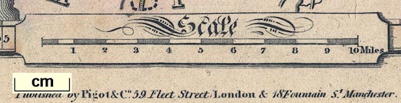
Maps, Westmoreland, scale about 4.5 miles to 1 inch, and
Cumberland, scale about 7 miles to 1 inch, by James Pigot
and Co, engraved by Pigot and Co, Manchester, published by
James Pigot and Co, Basing Lane, London, 1826-27. (Pigot
1826)
 Lakes Guides menu.