item:-
JandMN : 9
image:-
©
see bottom of page
PIG5.jpg
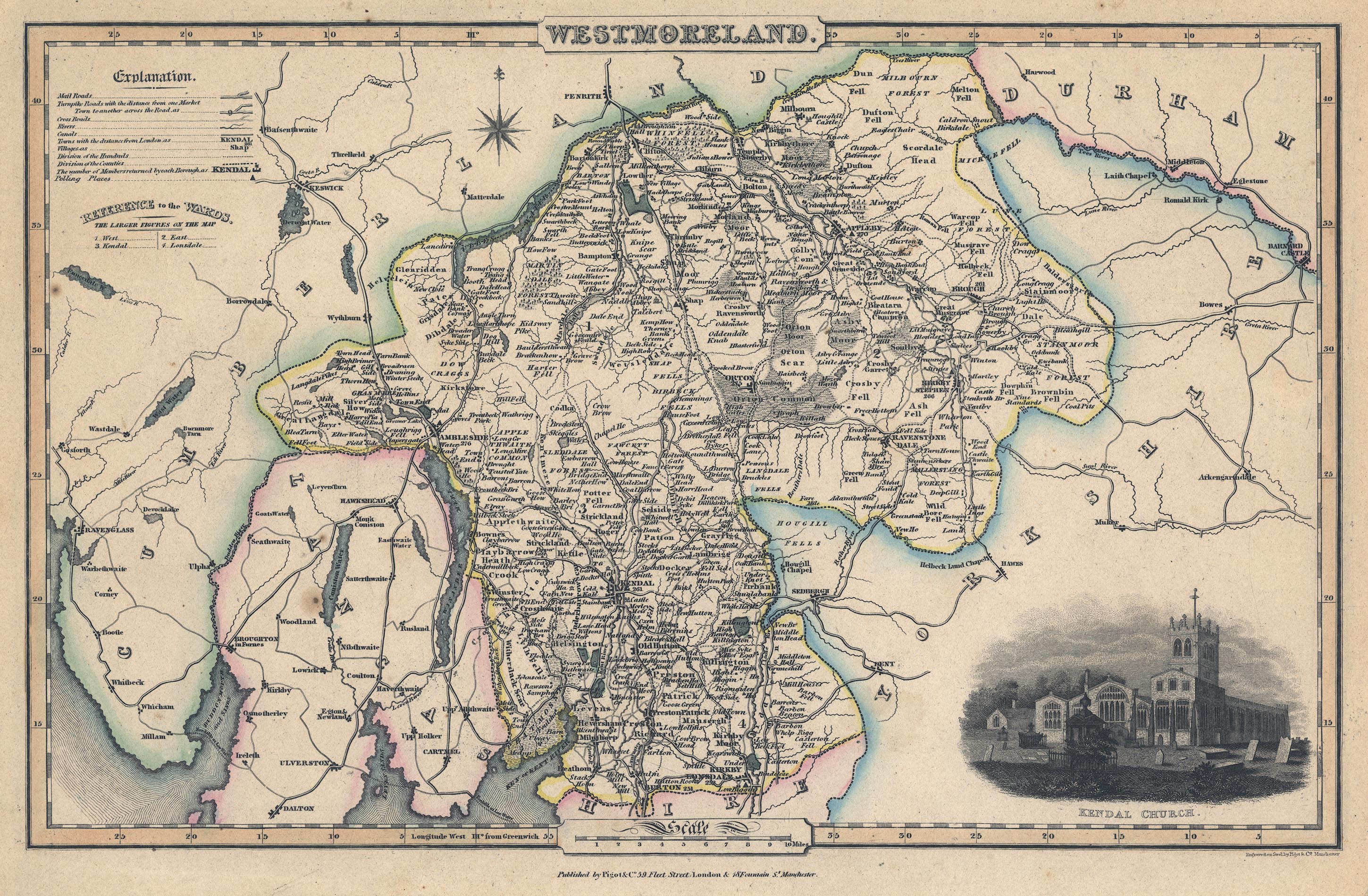
Map, Westmoreland ie Westmorland, scale about 4.5 miles to 1 inch, by James Pigot and Co, Basing Lane, London, 1826-27.
Lakes Guides menu.
 PIG5.jpg
 Lakes Guides menu.