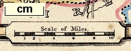
Maps, Westmoreland, scale about 10 miles to 1 inch, and Cumberland? engraved by Pigot and Slater, Manchester, published by Pigot and Co, Manchester and London, about 1835; published 1835-42. (Pigot 1835)
Lakes Guides menu.
 Lakes Guides menu.