item:- Armitt Library : 2008.14.76
image:- © see bottom of page
 PER3.jpg
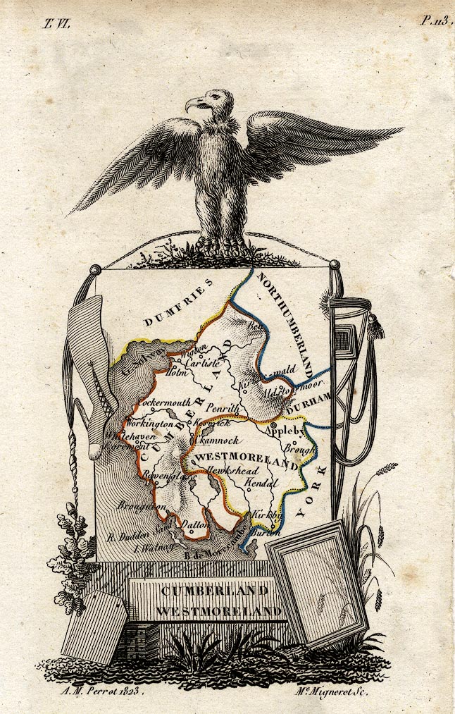
Map, hand coloured engraving, Cumberland and Westmoreland ie
Westmorland, scale about 38 miles to 1 inch, by Aristide Michel
Perrot, engraved by Migneret, 1823, published by Etienne Ledoux,
9 Rue Guenegaud, Paris, France, 1824-48.
 Lakes Guides menu.